
Ward 3
Ward 3 is where this campaign lives. Below is a plain-language guide to the ward, the pressures on it, and a running list of the issues residents have flagged, with a place to add your own.
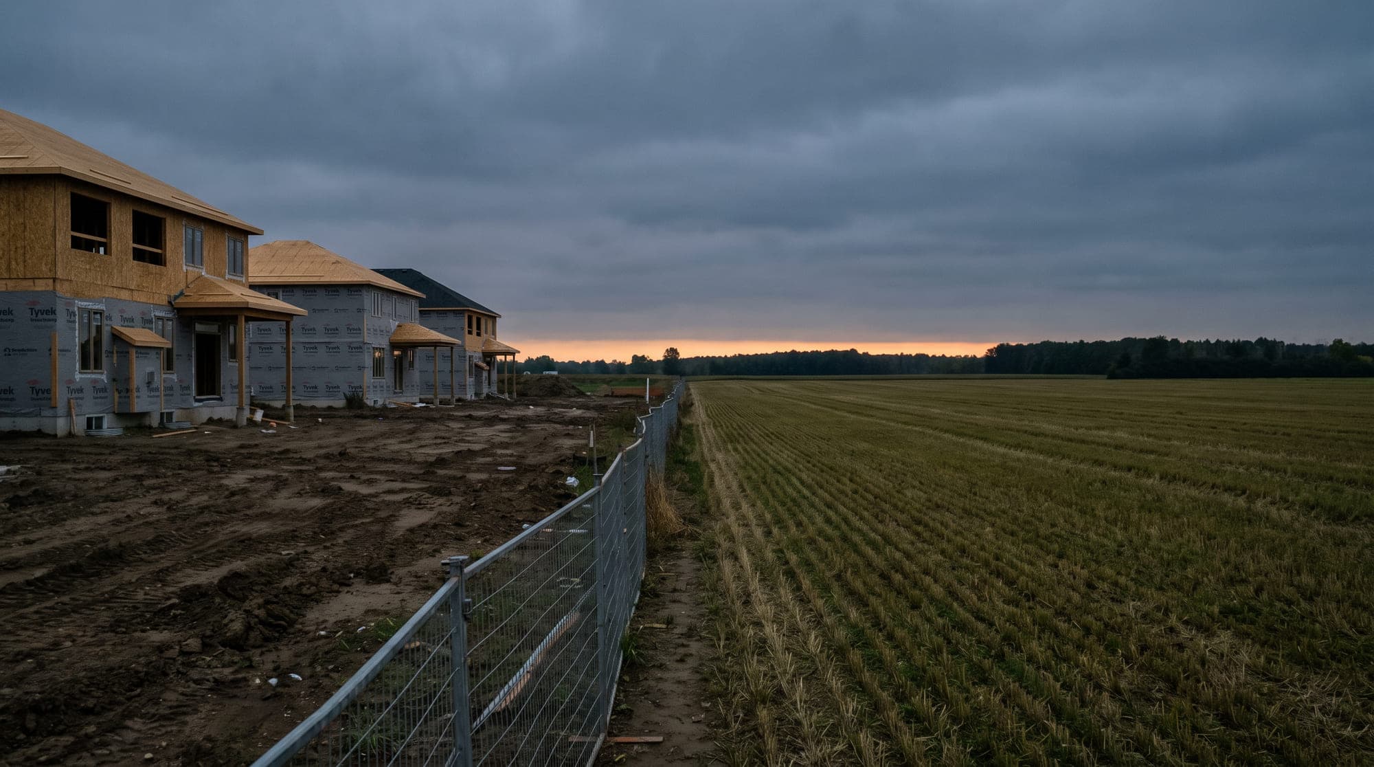
Header image: The edge of a new subdivision meeting harvested farmland under an overcast sky
Issue map
Select an area or a pin to see what has been raised, and what has happened to it since.
Not sure if you are in Ward 3?
Enter your address in the Town's interactive boundary map and it will tell you which ward you are in.
Filter by issue
Select an area of the ward
Select a logged issue
Pins show the general area of an issue, not a precise address.
6 issues logged by residents
Select an area of the map, or an individual pin, to see what neighbours have raised. These are the campaign's own records, not Town service requests.
The ward in detail
Growth and development
Ward 3 sits on the active edge of one of Ontario's fastest-growing municipalities. That means construction traffic, temporary road conditions, and a steady stream of planning applications that change what the street will look like in five years.
The practical questions for residents are always the same three: what is being built, what has to be built first to service it, and who pays if that sequence slips.
Roads and infrastructure
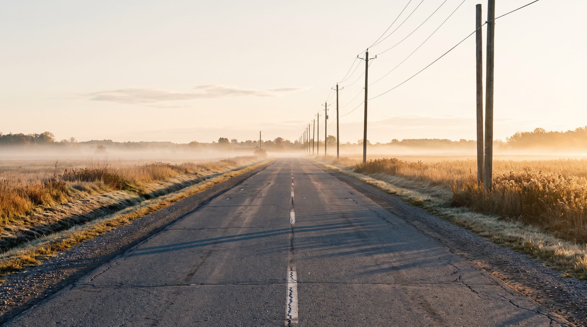
The ward's road network mixes newly built subdivision streets with rural concession roads that were never designed for this volume. Those two things fail differently and need different fixes.
Most of what residents raise falls into a small set of categories: speed, turning movements, sightlines at intersections, and the missing sidewalk link that makes a walk to school unsafe.
Parks and recreation
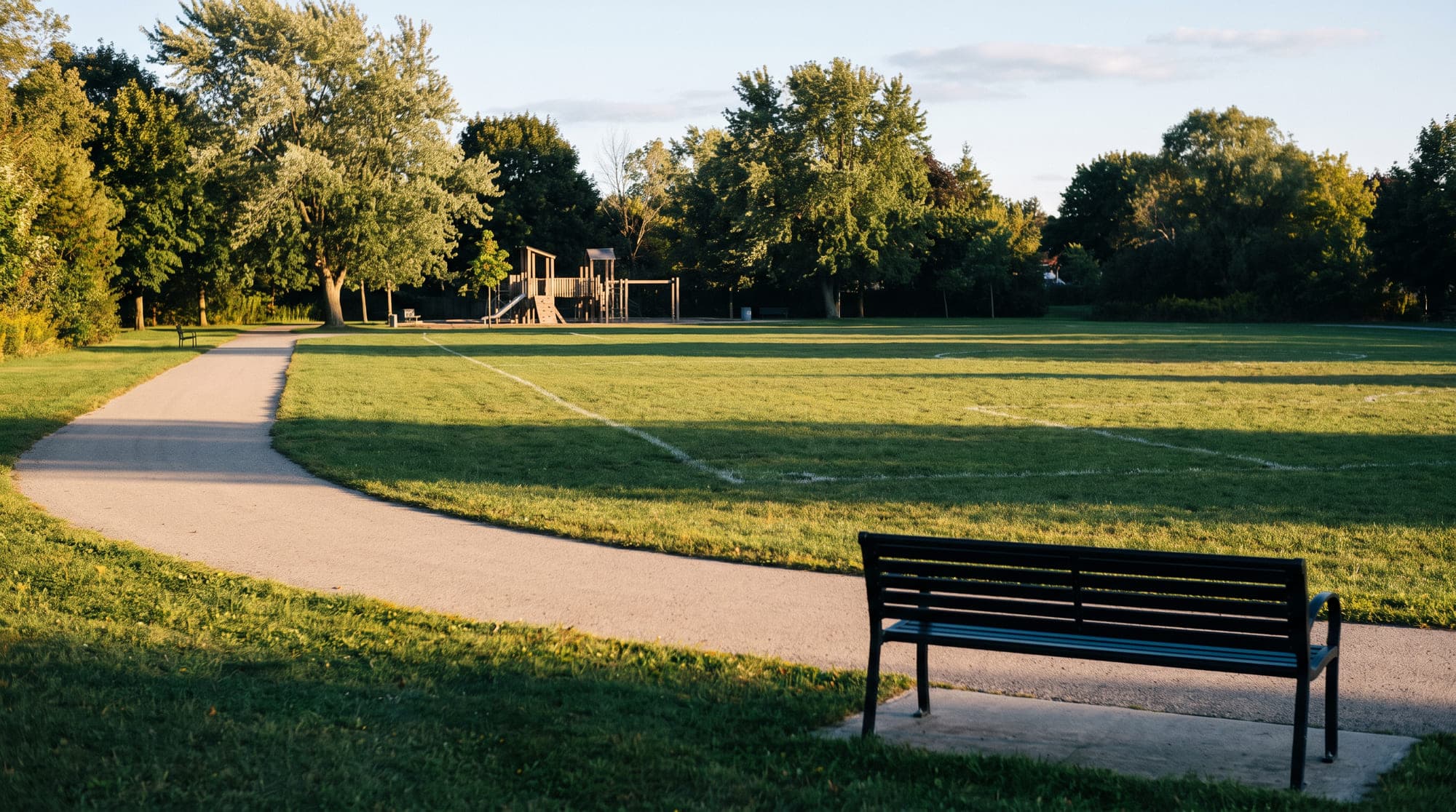
Parks in Ward 3 range from well-established green space to parkland that exists on a plan but not yet on the ground. Programme capacity is the quieter issue: a registration that closes in minutes is a service level, whether or not it is described as one.
Transportation and the commute
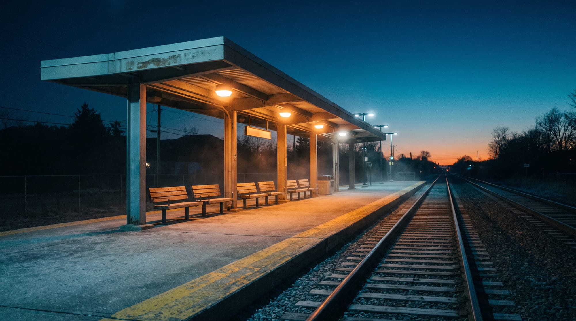
For a large share of the ward, the day begins and ends on the same congested corridor. Improving that means two separate campaigns: a sustained, evidence-backed ask to the Province and Metrolinx for service, and local work on the safety and connectivity of the routes people use to reach it.
Your turn
The crossing that scares you. The intersection everyone avoids. The park that exists on a plan and nowhere else. Every report is read, logged and, with your permission, added to the map above.
The campaign does not build voter profiles, score political preference, or infer how anyone intends to vote. This form collects what is needed to follow up on an issue, and nothing else.